
Most dangerous neighborhoods in Houston: What locals won’t tell you
- Why Houston’s Crime Scene Matters More Than You Think
- Houston’s Crime Landscape: Setting the Scene for Risky Towns in the US
- Mapping Houston’s Most Dangerous Neighborhoods: Where Are the Rough Parts?
- Deep Dive Into Houston’s Hardcore Neighborhoods: Stories and Stats From the Ground
- Why Crime Rates Don’t Tell the Whole Story: The Human Side of Houston’s Dangerous Areas
- How to Stay Safe in Houston: Practical Tips for Navigating Sketchy and Rough Parts
- Comparing Houston’s Dangerous Neighborhoods: Crime Rates, Risks, and Realities
- Voices From the Streets: What Locals Really Say About Houston’s Most Dangerous Neighborhoods
- Houston Crime Data: How to Read Crime Maps and Reports Like a Pro
- The Bigger Picture: Houston’s Crime in the Context of Dangerous Cities in the US
- What You Need to Know About Houston’s Most Dangerous Neighborhoods
- Sources and Further Reading
Why Houston’s Crime Scene Matters More Than You Think
Houston’s growth has been nothing short of explosive over the past few decades. With more people moving in every year, the city’s landscape changes fast — and so does its crime scene. When folks talk about the “most dangerous neighborhoods” in Houston, they’re not just throwing around numbers. They’re sharing real concerns about safety, community, and the day-to-day risks that come with living or visiting certain areas.
This article isn’t just about cold stats or scary headlines. It’s about what locals really see and experience. We’ll hear from people on the streets, dive into community voices, and look at how these neighborhoods earned their reputations. Understanding these places helps you stay informed and safe — whether you’re thinking about moving, visiting, or just curious about Houston’s urban fabric.
Houston’s Crime Landscape: Setting the Scene for Risky Towns in the US
Houston ranks among the largest cities in the US, and with that size comes a mix of neighborhoods with wildly different safety profiles. Compared to other major cities like Chicago or Los Angeles, Houston’s overall violent crime rate has seen ups and downs. Some years show improvement, while others reveal spikes in certain types of crime.
Violent crime in Houston includes offenses like assault, robbery, and homicide. Property crime covers burglary, theft, and auto theft. While violent crime tends to grab headlines, property crime affects many more residents and businesses. The city’s neighborhoods vary drastically — some are known for being relatively safe and family-friendly, while others have earned reputations as sketchy areas or rough parts of Houston.
Local police departments, community programs, and city policies play a big role in shaping these trends. Efforts like increased patrols, neighborhood watch groups, and youth outreach aim to reduce crime, but challenges remain, especially in areas facing economic hardships and social issues.
Mapping Houston’s Most Dangerous Neighborhoods: Where Are the Rough Parts?
When locals talk about Houston’s high crime zones, names like Sunnyside, Sharpstown, and MacGregor often come up. These neighborhoods have a mix of factors that contribute to their reputations: higher rates of violent incidents, economic struggles, and sometimes less police presence at night.
What makes an area dodgy or shady isn’t just crime numbers. It’s also about social factors like poverty, unemployment, and housing conditions. Some blocks might have older, poorly lit streets where residents warn visitors to be cautious after dark. Others might have seen recent spikes in incidents reported on community crime maps.
Visual aids like crime maps and community crime reports help highlight these hotspots. For example, the LexisNexis hosted community crime map shows clusters of incidents in certain parts of Houston, helping residents and visitors spot risky areas.
Locals often use slang or street names unfamiliar to outsiders when describing these places. For instance, Greenspoint is sometimes called “Gunpoint” due to its history of gun-related violence. Knowing these nicknames can give you a better sense of the city’s rough parts.
Houston's Most Dangerous Neighborhoods: Crime Rates & Community Efforts
Violent Crime Rate
(per 100k people)
Property Crime Rate
(per 100k people)
Police Presence & Community Programs
Deep Dive Into Houston’s Hardcore Neighborhoods: Stories and Stats From the Ground
Sunnyside stands out as a neighborhood with notably high violent crime rates. Residents often mention incidents of robbery and assault, especially after dark. Community members advise caution and recommend avoiding certain blocks late at night. Despite these challenges, Sunnyside has strong community ties and ongoing efforts to improve safety.
Sharpstown used to be a family-friendly area but has seen a rise in gun violence and other crimes over recent years. Locals talk about the shift from quiet streets to more frequent police activity. Economic challenges and lower education levels contribute to the area’s struggles.
MacGregor is a unique mix of old mansions and lower-income housing. While some parts feel peaceful, others have seen a rise in theft and violent incidents. Residents describe it as a dicey place to live, with some blocks better than others.
Greenspoint, nicknamed “Gunpoint,” has been a focus of police efforts for years. Despite increased patrols, crime remains a concern, especially violent offenses. Community programs aim to revitalize the area, but progress is slow.
Other neighborhoods with notable crime challenges include Third Ward, East End, Acres Homes, South Park, Northside, Fifth Ward, Gulfton, and Denver Harbor. Each has its own story shaped by local events, economic factors, and community resilience.
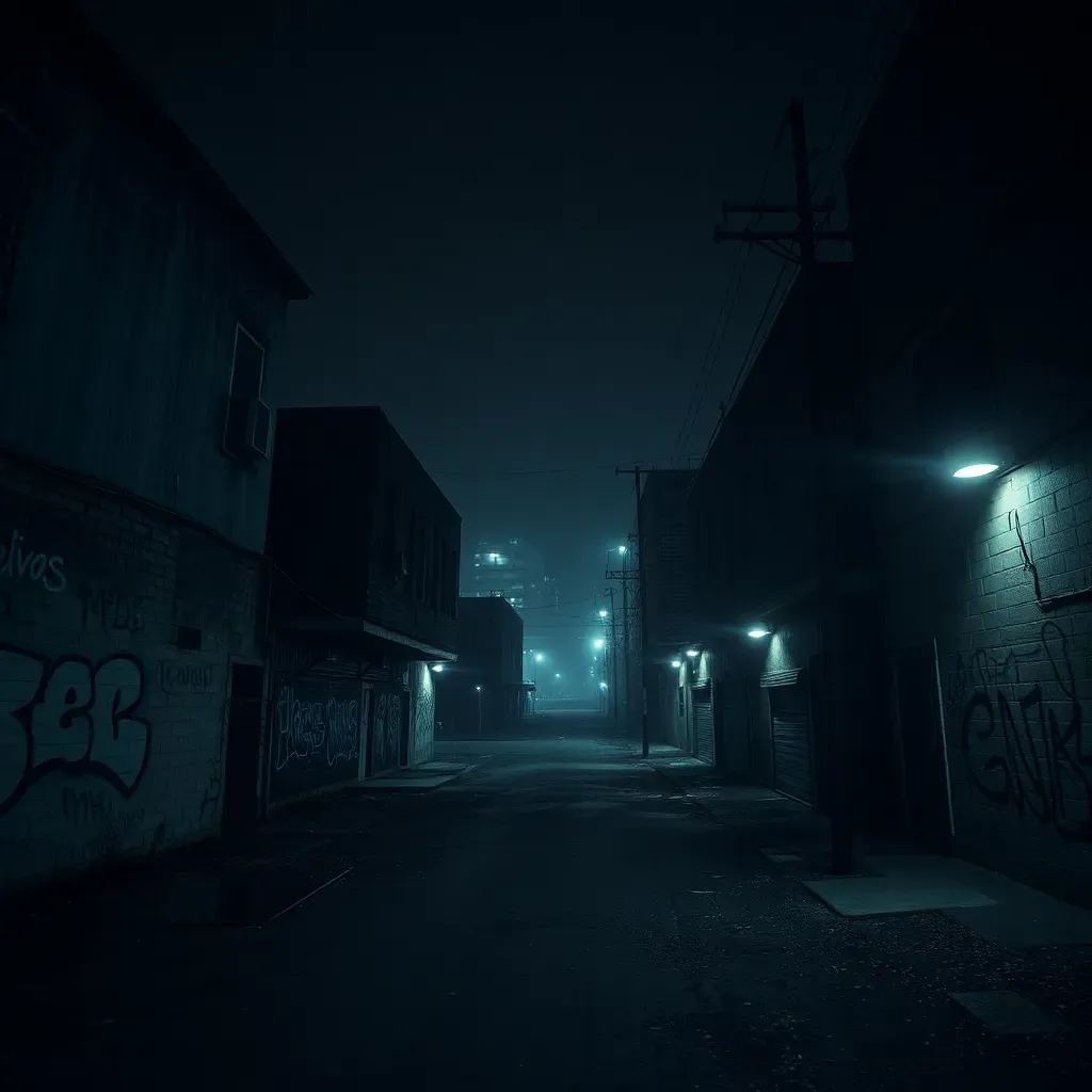
Why Crime Rates Don’t Tell the Whole Story: The Human Side of Houston’s Dangerous Areas
Crime statistics can paint a broad picture, but they don’t capture the daily realities of residents. Economic hardships, limited educational opportunities, and housing instability often underlie higher crime rates in these neighborhoods.
For many, living in a bad hood means dealing with safety concerns while also trying to build a community and support local businesses. Stories from people who grew up or work in these areas reveal a mix of struggle and hope. Community initiatives, like neighborhood cleanups and youth programs, show how residents push back against negative stereotypes.
Neighborhood revitalization efforts are underway in several districts, aiming to improve lighting, increase police presence, and provide social services. These efforts highlight that while some areas face risks, they are also places of resilience and potential.
If you’re new to Houston or just visiting, knowing which neighborhoods and streets to be cautious around can make a big difference. Here are some practical tips:
- Avoid walking alone at night in neighborhoods known for janky or poorly lit streets.
- Use community crime maps to check recent incident reports before visiting unfamiliar areas.
- Stick to well-populated and well-lit areas, especially downtown, Montrose, and the Heights.
- Be aware of your surroundings and trust your instincts — if a place feels off, it’s okay to leave.
- Connect with local community watch programs or police non-emergency contacts for updates.
Visitors traveling with friends or family should plan routes ahead and avoid isolated spots. Locals often recommend steering clear of certain blocks in Sunnyside, Third Ward, and parts of North and Southeast Houston after dark.
Comparing Houston’s Dangerous Neighborhoods: Crime Rates, Risks, and Realities
| Neighborhood | Violent Crime Rate (per 100k) | Property Crime Rate (per 100k) | Police Presence | Community Programs | Local Reputation |
|---|---|---|---|---|---|
| Sunnyside | 2,800 | 1,200 | Moderate | Active youth outreach | High risk, avoid at night |
| Sharpstown | 2,100 | 1,400 | High | Neighborhood watch groups | Rising gun violence |
| MacGregor | 1,900 | 1,100 | Moderate | Community cleanups | Mixed safety, some dicey blocks |
| Greenspoint | 2,500 | 1,300 | High | Police task force | Persistent crime challenges |
| Third Ward | 2,200 | 1,000 | Moderate | Community revitalization | Watch after dark |
Over the past five years, some neighborhoods have seen slight improvements thanks to increased police efforts and community programs. However, economic pressures and population growth continue to influence crime trends.
Voices From the Streets: What Locals Really Say About Houston’s Most Dangerous Neighborhoods
“I’ve lived in Sunnyside for over a decade. You gotta watch your back, especially when it gets dark. But it’s home — people look out for each other.” — Local resident, Reddit thread source
“Sharpstown’s changed a lot. Used to be quiet, now you hear sirens almost every night. The community’s trying to fight back, but it’s tough.” — Community forum comment source
“Greenspoint, or ‘Gunpoint’ as some call it, still has a bad rep. Police are around more, but you gotta be smart and avoid certain blocks.” — Neighborhood watch volunteer source
Houston Crime Data: How to Read Crime Maps and Reports Like a Pro
Crime statistics can be confusing, but knowing a few basics helps you make sense of Houston’s data. Violent crime rates usually count offenses like homicide, assault, and robbery, while property crime covers theft and burglary.
Community crime maps, like those hosted by LexisNexis, show where incidents happen in real time. Look for clusters of reports to spot risky spots. Pay attention to trends over time — a sudden spike might mean increased risk.
When reading reports, note the difference between isolated incidents and ongoing problems. Some neighborhoods might have a few bad blocks but are generally safe otherwise.
Stay updated through official Houston Police Department releases and trusted local news outlets. These sources provide the most accurate and current info.
The Bigger Picture: Houston’s Crime in the Context of Dangerous Cities in the US
Compared to cities like Detroit or Baltimore, Houston’s crime rates are mixed. Some neighborhoods face challenges similar to those in other large urban areas, while others are relatively calm.
Houston’s size and diversity mean it has unique challenges — sprawling geography, rapid growth, and economic disparities all play a role. The city’s efforts to improve urban safety include community policing, investment in social programs, and partnerships with local groups.
Lessons from other risky towns in the US show that long-term success depends on addressing root causes like poverty and education, not just policing.
What You Need to Know About Houston’s Most Dangerous Neighborhoods
Houston’s neighborhoods vary widely in safety. Areas like Sunnyside, Sharpstown, and MacGregor have higher rates of violent and property crime, often linked to economic and social challenges. Locals recommend caution, especially at night, and advise avoiding certain blocks.
Understanding the human side behind the numbers helps paint a fuller picture. Community efforts and police programs are working to improve conditions, but awareness and practical safety measures remain key.
Staying informed, using crime maps, and listening to local voices can help you navigate Houston’s complex urban landscape safely and confidently.
Sources and Further Reading
- Most Dangerous Neighborhoods in Houston - Property Club
- Areas to Avoid in Houston - Reddit
- Houston Crime Rate and Statistics - Napier Law Firm
- Houston Crime Map - GIS Geography
- Safest and Most Dangerous Places in Houston - CrimeGrade
- Sugar Land Dangerous Neighborhoods
- Community Crime Map - Houston Police Department
- Top 10 Most Dangerous Neighborhoods in Houston
What do you think about Houston’s most dangerous neighborhoods? Have you had experiences or stories to share about these areas? How would you like to see safety improve in Houston? Drop your thoughts, questions, or ideas in the comments below — your voice matters!
 Is it safe to walk in Houston at night? Shocking truths revealed
 Most dangerous cities in Texas revealed: You won’t believe which top
 Is Houston dangerous? Shocking truths about crime you won’t believe
Si quieres conocer otros artículos parecidos a Most dangerous neighborhoods in Houston: What locals won’t tell you puedes visitar la categoría Houston.
Leave a Reply